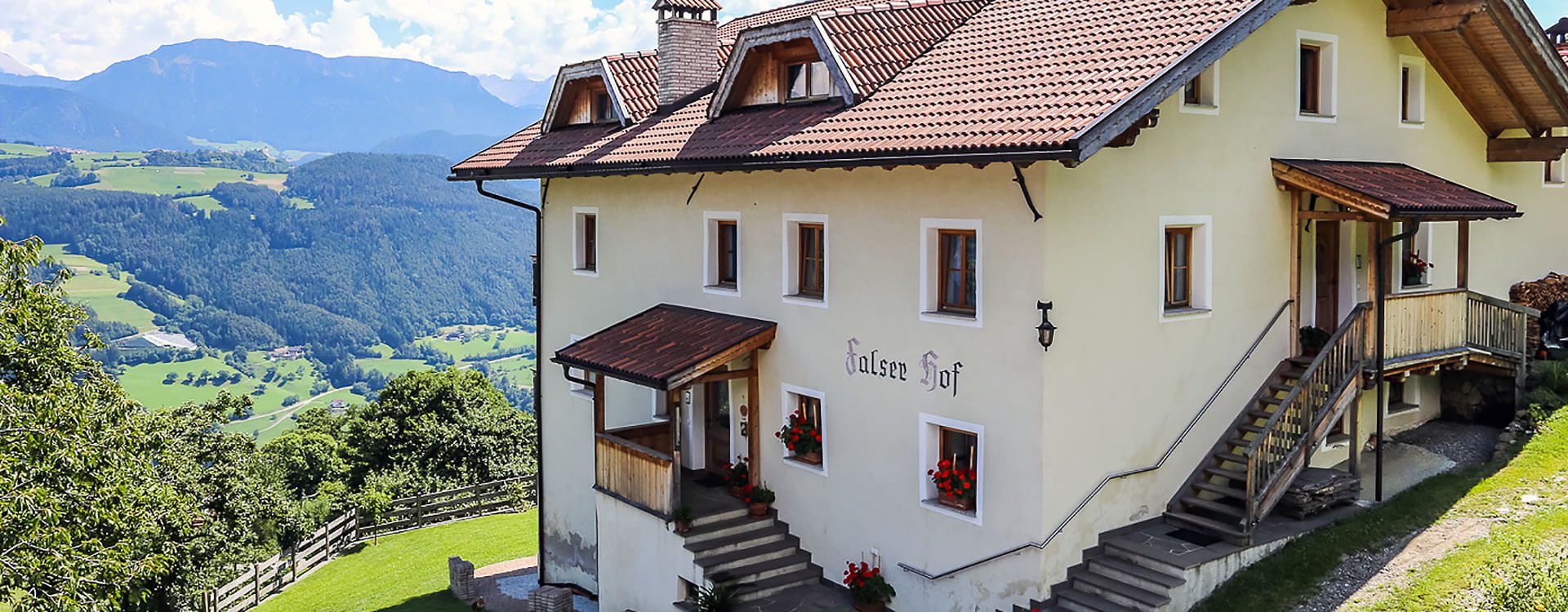

Circular Hike near Villanders
This hike, mostly through forests, follows the deep mountain fold of the Zargenbach stream north of Bad Dreikirchen, marking the border between the Barbian and Villanders mountains.
Tour Route:
Drive from Klausen to Villanders and continue on the Villanders mountain road until you reach the right-hand bend above the Pardell estate. From there, take the side road to the nearby Stofels hamlet (1,000 m; private parking at Gasthof Winterle).
From Stofels, walk along the road to Lafojerhof (987 m), then take the ascending farm track marked no. 4. After crossing the bridge in the Zargenbach ravine, the trail leads through forests and meadows, ascending southward to Bad Dreikirchen (1,123 m), where a mountain inn offers stunning views of the central Eisack Valley. The key to visit the three picturesque churches, adorned with valuable frescoes and winged altars, can be obtained at Gasthof Messnerhof.
After visiting the churches and taking a break, follow trail no. 11 (blue-white) northwest, ascending through a rocky ravine and continuing uphill to Florbergstraße (1,260 m; slightly above lies the Unterflor farm). From here, still following trail no. 11, descend gently through the Zargenbach gorge to Prackfiedhof (1,156 m). The old farm path then leads through meadows, descending back to Stofels.

